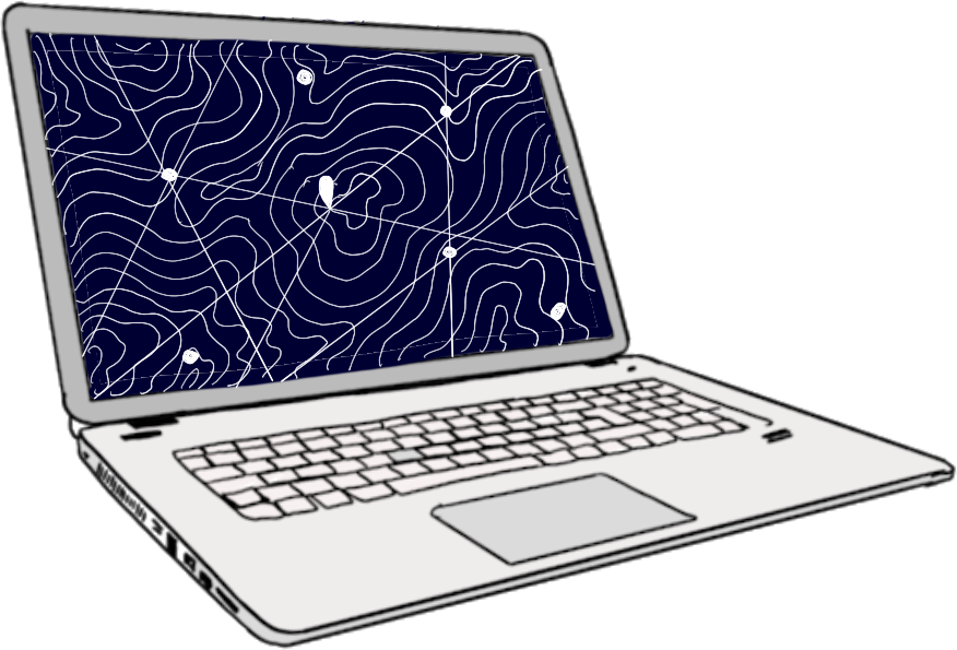
Mapeo: Monitor and document the world around you


What is Mapeo?
Mapeo was built with and for earth defenders to easily document environmental and human rights information and to collect data about their land.
It can be used by individuals or by teams who want to collaborate and share information, and is particularly good at working in offline and remote environments. It is simple to use, free and accessible, and can be customized with local languages and settings.
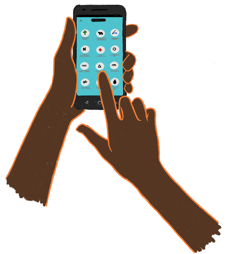
There is a Mapeo Mobile app, used to gather evidence in the field, to take photographs or record GPS points of significant places; and there is a Mapeo Desktop app, used to organize data collected on mobile or GPS, and to visualize, edit and create reports on which action can be taken which would be hard to do on a mobile. Both tools can work for individual or team projects as you can synchronize data between mobile devices, and from mobile to computer, and computer to computer.
Mapeo was co-designed and developed with Indigenous communities who face threats to their land such as illegal gold mining, oil contamination and poaching. It was built to support them to document these activities in order to take community action against them, to report them to authorities, file lawsuits, launch media campaigns, or create maps for land claims.
Mapeo is an open source software that benefits from continued feedback from our users across the world. The next feature of Mapeo could be suggested by you!
Why you might want to use Mapeo
There are many tools and pieces of software that you could use for making maps or documenting information, however after working with earth defenders for many years, Digital Democracy never found a tool that was built with the needs and priorities of earth defenders at the forefront, so we decided to build one in close collaboration with our local partners.
Other tools may require frequent internet access, which isn’t available in many remote or marginalized areas; they may depend upon an online or centralized server which takes data out of your hands and into the hands/offices of corporations; they might be unnecessarily complicated for your needs, alienating and disempowering to community members with less experience with computers, or they might tie you into dependencies on costly software or external expertise instead of promoting your own autonomy.
The Mapeo apps are built to address these points.
1. Simple to use and learn
Mapeo Mobile is designed to be learned easily, even if you haven’t used smartphones much before. It uses many icons so it can be easy to understand visually. Mapeo Desktop does require some computer skills, but has a simple interface with a limited number of features. There are plenty of other tools you can export your data to from Mapeo if more complex analysis or mapping work is required. This simplicity helps support wide community involvement and ownership of projects.
2. Mapeo works in completely offline environments
Mapeo Mobile shares information by using WiFi networks between devices. These could be internet based, but can also be offline networks set up using simple portable routers that work with a computer or small battery as a power source. Mapeo Desktop can use these same networks for sharing data, and can also export data to files that can be shared on USB sticks.
3. Mapeo uses a Peer-to-peer database
This means that there is no centralized source of data, to which all team members or devices connect. Instead all members of a project who synchronize with each other get copies of all the data on their mobile devices - it moves around the project network. The advantage of this is that data you have collected on Mapeo Mobile stays on your phone, and you can also see (but not edit) data collected by others on your team. It is a less hierarchical system of storing data than being stored externally on a server or online, and means that your community can maintain total ownership and control over the data if you wish.
4. Mapeo is customizable
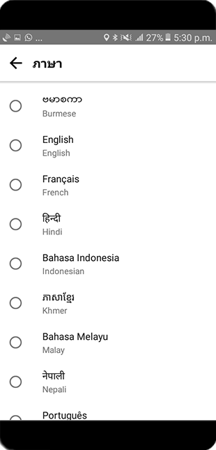
Much of the Mapeo app is customizable in terms of language, maps and information you collect. When you download it, it comes with an offline map of the world, and a default configuration which you can use immediately to collect information about threats to land or rights. Mapeo has been translated into a number of languages already (including English, Spanish, Portuguese, Thai, Khmer and more) and can be translated into other languages.
Mapeo can be customized by:
- Translating the app into your local language using an online tool called Crowdin.
- Creating your own list of things you want to collect information about, and design your own associated questionnaires and icons for them.
- Designing an offline map, or maps, with the right type of information or detail on them to support your documentation. For example you might want a detailed satellite map, or a map with the boundaries of mining concessions and land titles, or a map with elevation data to help you plan field trips.
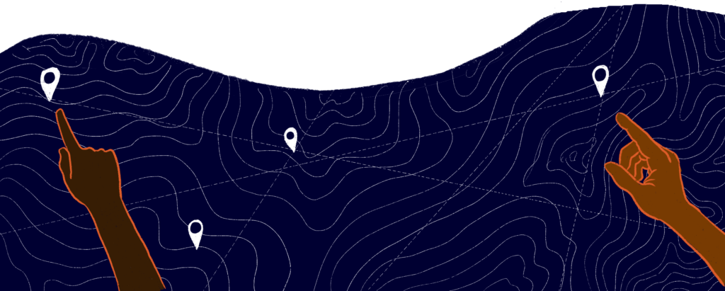
How it works
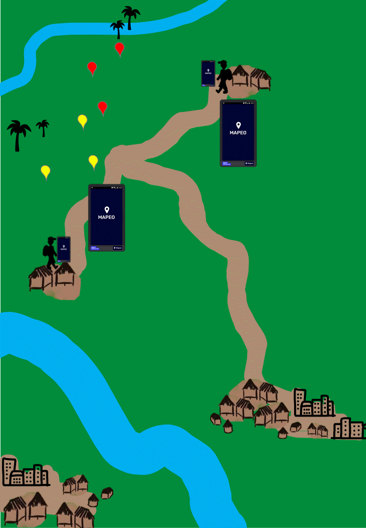
Mapeo can be used in many different workflows to help you defend your lands and rights. To give you a sense of how it can be used, here is one example of a workflow for collecting evidence of rights violations:
Download and install Mapeo
You can use Mapeo with the default configuration it comes with immediately, or you can set it up with customized configurations and offline maps relevant to the information you want to collect. This last step requires more technical knowledge, so you may need support if you want to customize Mapeo.
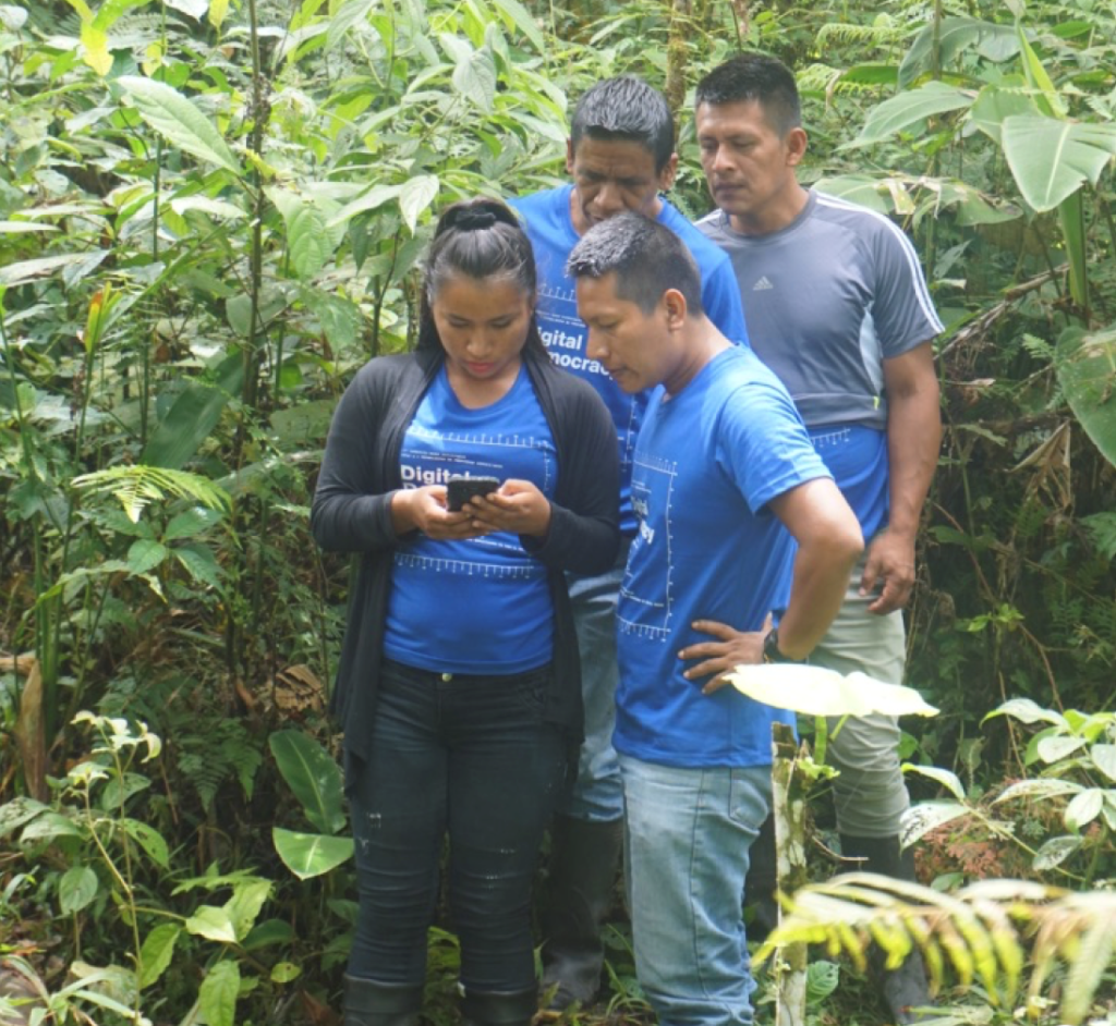
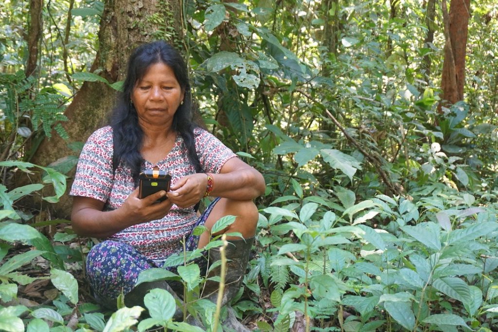
Collect data using Mapeo Mobile
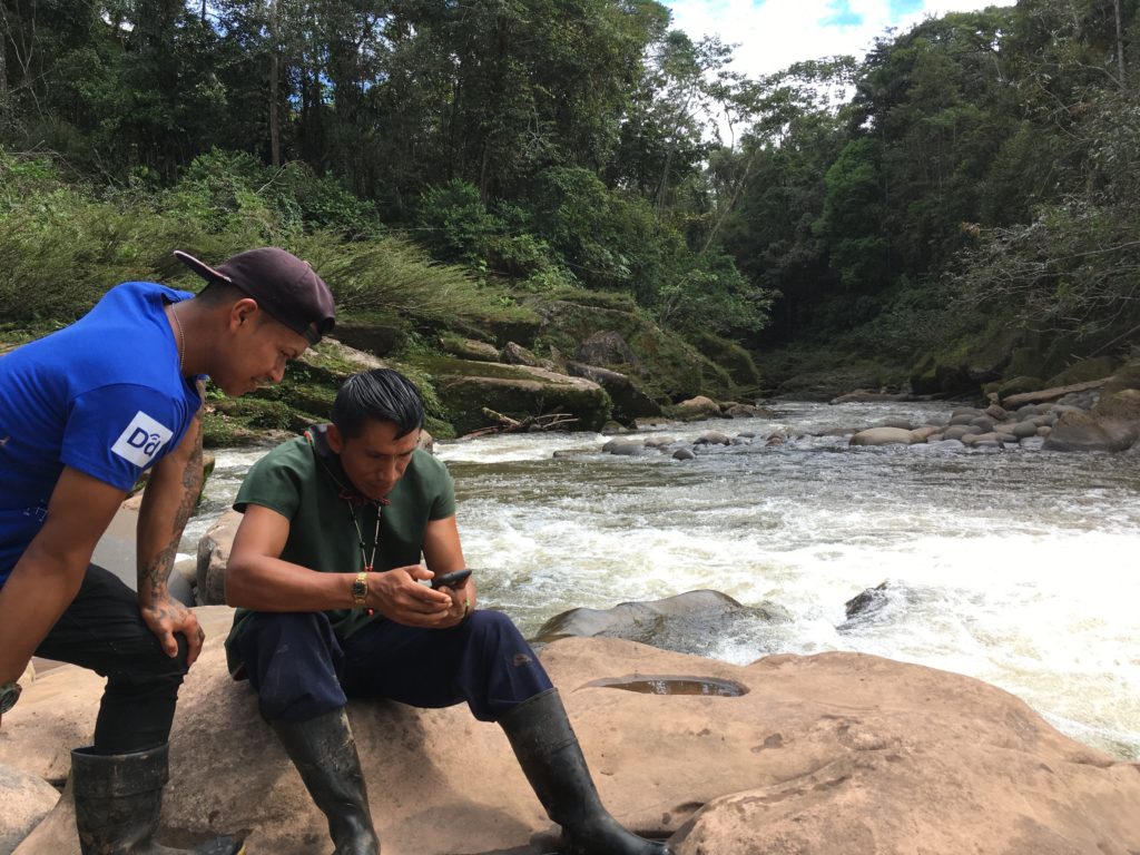
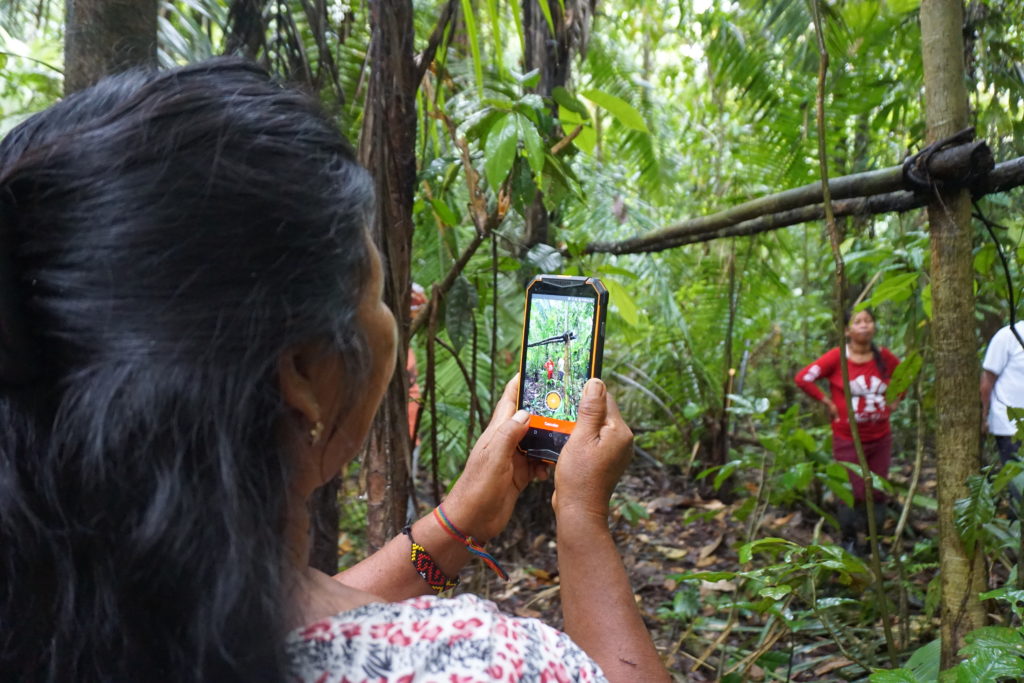
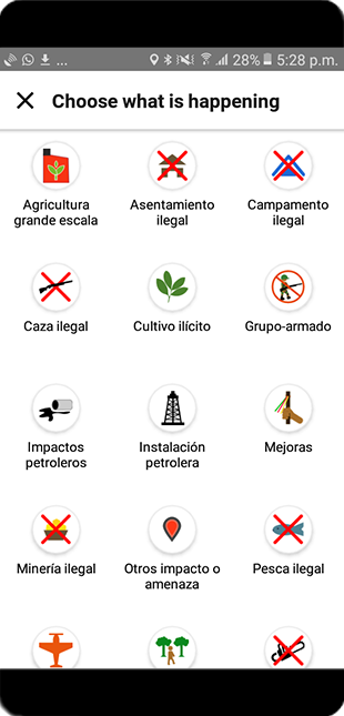
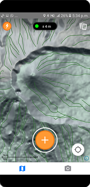
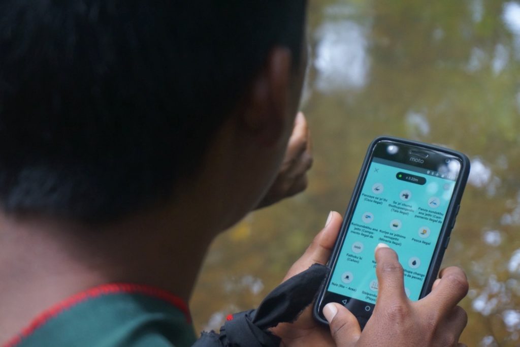
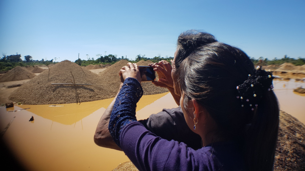
Depending upon your needs and work, this might involve trips out to remote areas, or visiting sites around your village. Mapeo Mobile allows you to take a GPS point and categorize it, adding written notes and photographs which are linked to the point and timestamped. For example you could collect information about oil spills impacting your land, take photographs as evidence and document when the spills happen. Or you could use Mapeo to map important sites in your territory such as hunting areas - documenting who uses them and what animals are found there - or places with historical or spiritual significance.
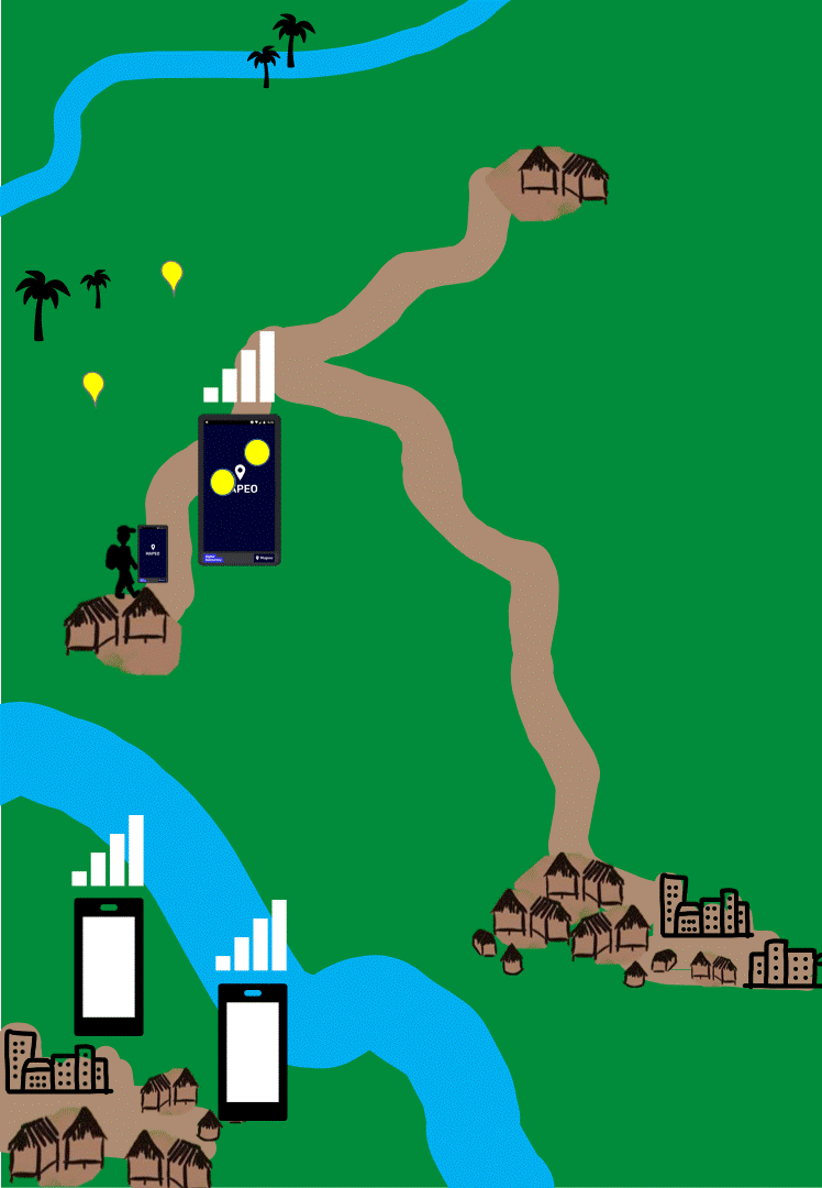
Synchronize your data
You can share data with other team members using your phones, or connect to Mapeo Desktop and pass all your data there.
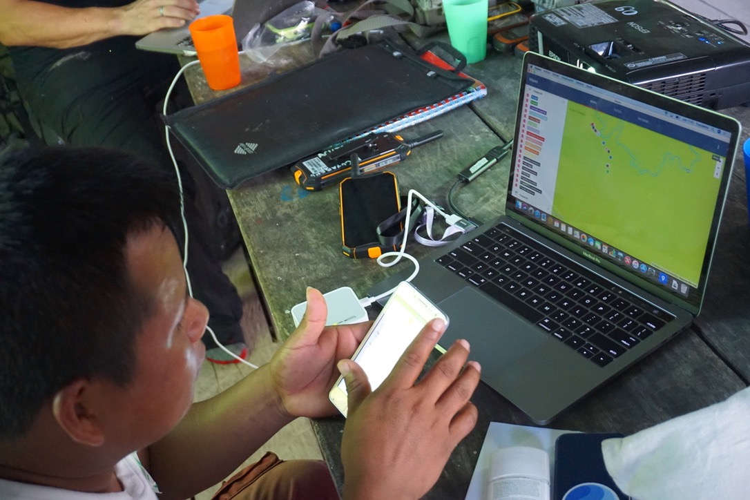
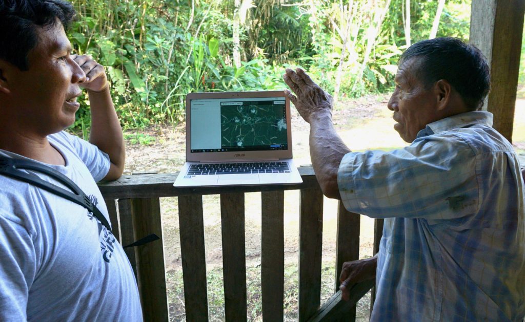
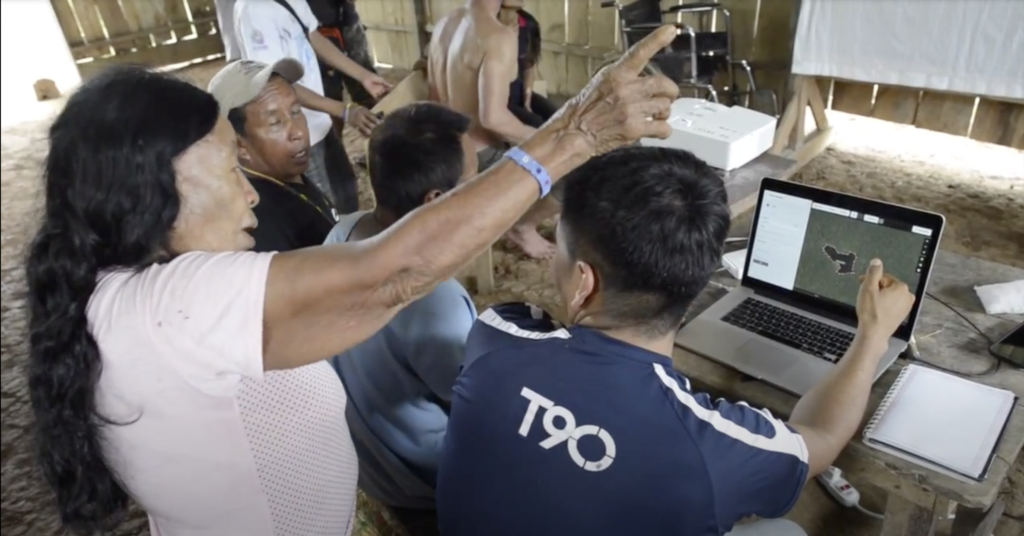
Edit, Visualize and Analyze
Use Mapeo Desktop to edit and view data you have collected using Mapeo Mobile. You can filter the data to help visualize what’s happening, and analyze the information for trends.
Export your data
From Mapeo Desktop you can create simple printed or PDF reports to share with others; you can also create a file to upload to a simple web map for online sharing. The data can also be exported as a GeoJSON, CSV or Shapefile for use in other GIS or data analysis applications. From Mapeo Mobile you can share single data points and associated photos and notes with others using email or Whatsapp if there is emergency action needed or if you don’t have access to Mapeo Desktop.
How to get started
The easiest way to start using Mapeo for mapping or monitoring work is to download Mapeo Mobile from the Google Play Store and have a go. We hope it is quite intuitive to use but here is a manual to talk you through all it does and how to work with it as a team. If you want to use it alongside Mapeo Desktop, or use the Desktop version on its own for mapping, you can download Mapeo Desktop from our website and learn how to use it in this guide. Some things aren’t yet covered in the guides, so if there are things that aren’t clear, ask our community of users.
You can also find information here if you’d like to make a bespoke configuration for Mapeo with your own icons and offline maps and have the technical skills or support to do so. We would love to hear about your project, and hope you enjoy Mapeo. Sign up to our Mapeo mailing list if you want to be kept up to date with news and improvements.
Examples of how Mapeo is used
Environmental Monitoring in Peru
Indigenous Community monitors working within ECA-RCA in South East Peru are using Mapeo Mobile and Desktop as part of a co-management program of a Reserved area. Together with park rangers, they collect data on illegal gold mining and other impacts to the Reserve and use these for internal decision making and action as well as sharing with the authorities for any illegalities to be addressed.
Territory Mapping in Kenya
The Ogiek Indigenous People of Mount Elgon are using Mapeo Mobile and Desktop to map important sites on their lands as part of a historical land claim.
Ancestral Mapping in Ecuador
The Siekopai people of Northern Ecuador used Mapeo Desktop in their villages to explore satellite imagery of their ancestral lands with the elders, and document stories associated with lakes and old settlements. Watch video.
Disaster-Risk Management for Climate-Vulnerable Populations in Thailand:
Village health volunteers in coastal Thailand are using Mapeo to collect data on vulnerable people, to ensure they can receive immediate and targeted help in case of natural disaster.
Specs
Software requirements: Mapeo Desktop can be installed on PC, Mac, and Linux. Mapeo Mobile currently works on Android.
Security: Data collected by Mapeo Mobile is non-falsifiable and cryptographically signed to prove that it has not been tampered with. All data, whether created on Mapeo Desktop or Mapeo Mobile has encrypted logs that can be verified for authenticity. Private projects can be created using secure project keys which limit who one can synchronize data with.
Main features: Completely offline functionality. Decentralized data storage. Custom maps and configurations. Peer-to-peer synchronization.
Languages: Can be translated into any language. Currently available in Burmese, Dutch, English, French, German, Hindi, Indonesian, Khmer, Malay, Nepali, Portuguese, Spanish, Swahili, Thai, and Vietnamese.
Media: Possible to add photographs.
Import options: Possible to import GPS tracks and shapefiles to Mapeo Desktop.
Export options: Mapeo Desktop: PDF or print report, GeoJSON, CSV or Shapefile export. Mapeo Mobile: single point export to email, Whatsapp and other mobile sharing apps.
Digital Democracy would like to thank all the Indigenous communities involved in the development of Mapeo Mobile and Desktop.
Āhau: An indigenous community platform
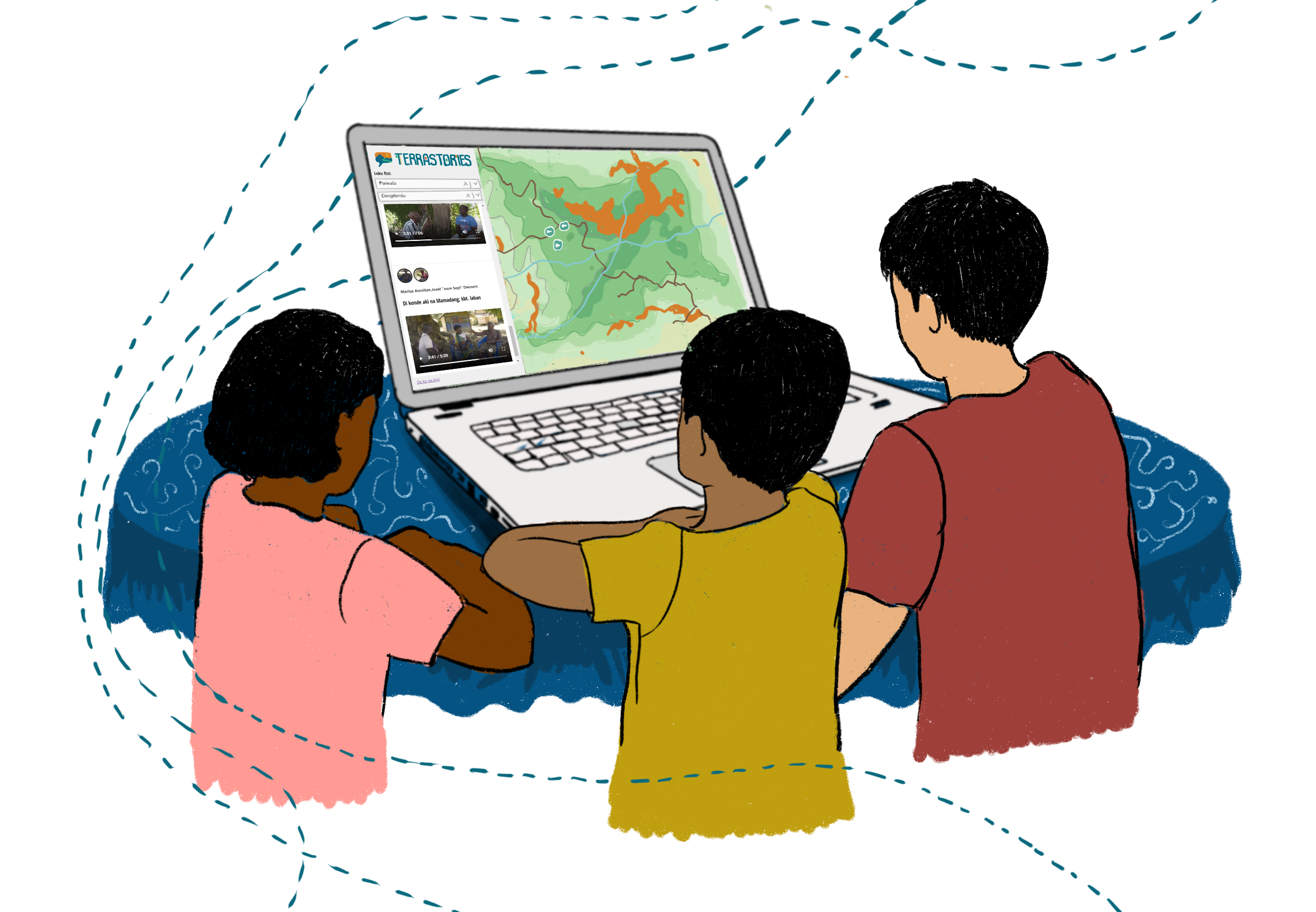
Terrastories: a tool for place-based storytelling