QGIS is a free and open-source cross-platform desktop geographic information system (GIS) application that supports viewing, editing, and analysis of geospatial data. It is the most powerful and commonly used GIS software that is open-source and free to use. QGIS provides much of the same core functionality as Esri’s ArcMap and ArcGIS Pro software, including processing analyzing raster and vector layers, georeferencing images, analyzing satellite imagery, and designing cartographic maps. It is however not as easy to use as Esri’s tools, lacks some of the more advanced mapping functionalities, and has only limited support for web mapping. Many earth defender communities use QGIS in tandem with data collection tools such as Mapeo, OpenDataKit, Sapelli, GPS handheld units, and others; once data has been collected and minimally processed within those applications, it is exported to QGIS for more sophisticated data organization, analysis, exporting, and cartography. QGIS has a wide community of users globally, and there are both forums to ask questions and numerous tutorials for using QGIS.
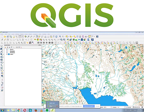
QGIS