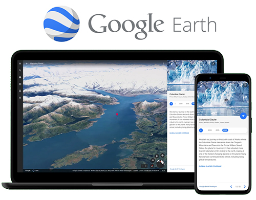
Google Earth is a tool that provides satellite imagery for the entire world and allows users to search, pan, zoom, rotate, and tilt the view of the earth. Google Earth is available on several platforms: on the web, as a smartphone application, and there is a Desktop application called Google Earth Pro that is gradually being phased out. Rather than being a geographic information system (GIS) tool that provides advance analysis or cartographic design capacity, Google Earth focuses on delivering a seamless experience navigating a comprehensive archive of satellite imagery of the planet. In Google Earth web and Pro, you can add geographic data including GPS data and geospatial shapefiles, and also export views for print. With the Google Earth creation tools on the web, you can add your photos and videos, customize your view, create tours, and share and collaborate with others. Due to its ease of use and exceptionally clear 3D satellite imagery views, earth defender communities have used Google Earth to do “direct-to-digital” mapping where community members can easily identify, map, and share stories about places and features in the landscape. The Google Earth web interface has also been used by some communities to share information about storied places in their lands with the public.
Google Earth