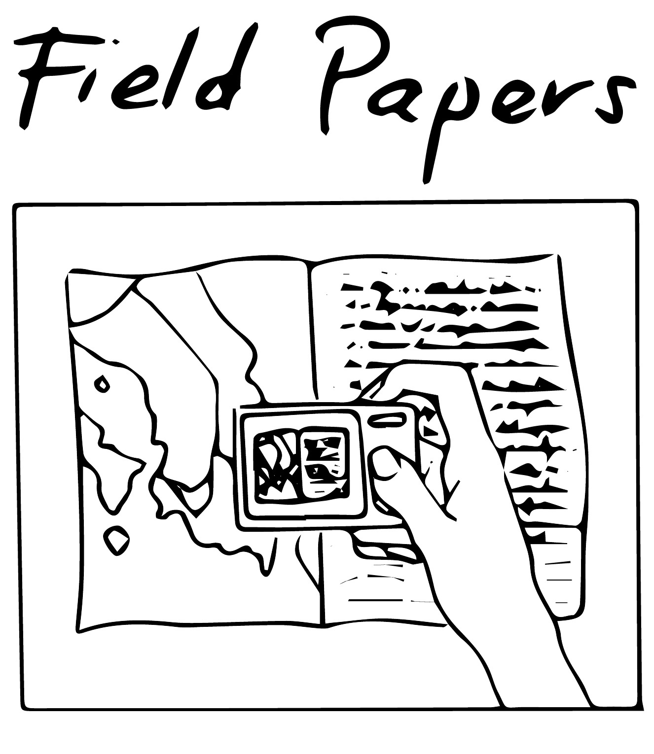
Field Papers is a tool to help you make annotations or sketches on a printed map, and easily integrate that back into the map. The way it works is that you can print out pages of a map. Community members can draw or write on those maps. The pages come with a QR code which is used to bring that information back into the maps by putting the information in a geographical information system (GIS) format. This can be useful for mapping workshops where you are trying to get input from many community members at once, and/or you want everyone to have their own map page to work with. The standard map used by Field Papers is OpenStreetMap but it’s possible to put in your own maps.
Field Papers