Guide: Mapping for Earth Defenders

Mapping tools are among the most powerful technologies for earth defenders
Pour le moment, ce document n'est disponible qu'en anglais et en espagnol. Si vous souhaitez aider à le traduire en français, nous serions ravis de votre contribution!
Like many other modern technologies, digital mapping tools were not always useful for earth defender communities, nor are they always needed by these communities for their own internal purposes today. However, a map can be an incredibly useful way to communicate with outsiders, and to deal with threats to the land that are emerging from the outside. Maps made by earth defender communities are a representation of their lands from their point of view, and frequently present a very different picture than the maps made by the outside world. ?️
From colonial times onward and persisting into the present, maps made by the government or other outside third parties often erase the existence of a local community, instead visualizing the land as empty space with only sparse colonial names for natural features, or showing an abundance of resources to be extracted for profit. By contrast, earth defender communities think of their lands in terms of an abundance of storied and historical places, sacred sites, hunting and fishing sites, and other natural resources important for sustenance. While a map in Western cartographic tradition is an imperfect repository to capture this knowledge of the land, it can nevertheless help earth defender communities in communicating with outsiders or third parties: a map can help outsiders understand the importance of the land from a local point of view, by representing things in a format legible to them.
Since maps are among the most powerful ways for representing the world, the ability of earth defender communities to use mapping tools to counter-map — or produce “maps that roar,” to borrow a phrase from the Canadian Indigenous mapping community — is a very effective usage of modern technology. ?
Two other powerful reasons why mapping projects can be greatly useful to earth defender communities:
Because mapping projects invariably involve conversations about the land or water, they can help restart processes of knowledge transmission that have been disrupted by colonization, and allow communities to record and archive local knowledge.
Mapping can be one of the most effective ways of building skills in using technology, because mapping involves something that community members already have quite a lot of knowledge about: the territory, lands, and waters.
How can a mapping project help communities?
To help communities articulate and communicate spatial knowledge to external agencies.
To allow communities to record and archive local knowledge.
To help restart processes of traditional knowledge transmission that have become stilted.
To assist communities in land-use planning and resource management.
To enable communities to advocate for change.
To increase the capacity to work with technology within communities.
To address resource-related conflict.
Guiding questions to ask when considering a mapping project
- Why do you want to make maps?
- How can the map tell a story?
- Who do we want to show it to?
- Do we have legal titling to the land?
- What are the boundaries? Do we know what they are, and are they agreed upon?
- What technology and skills do we already have? And what do we need training and support with?
- What is the landscape geography like?
- How many communities are there, and how are they distributed? What is the population?
- How is the society organized? Is there a federation / organization, and what is the leadership structure?
- What is the timescale?
- Do we have a budget?
- What kind of technology and technical support can we access?
Community mapping methodology
Ingredients:
- Paper, markers, pencils
- Electronic devices depending on the tools to be used, which may include
- Smartphones
- Laptops
- GPS handheld devices
- All-weather notebooks and pens
- Any additional useful items like power banks, and any equipment needed for fieldwork.
- Food and drinks to keep workshop participants happy
- Somebody who can design a map, and cartography software
Prepare your community for the mapping activity
During the time leading to the start of mapping activities, take the time to explain to the whole community about the objectives and importance of mapping work, and if already known, to discuss the methodology to be used and how the team will operate. If multiple entities like community-based organizations or allied NGOs are involved, get clarity and consensus on the distribution of tasks, and if possible, write them down on paper. Lastly, consider the stewardship of any information or data collected, and who is responsible for that: this means thinking about ensuring that data is being kept safe, that information contained within notebooks or on paper maps is converted to a digital format, and that multiple copies of data are made (e.g. on several hard drives) to prevent anything from getting lost.
Determine the purpose of making a map
At the very beginning, the community should decide why they need a map, and what kind of data they want to collect. You may use the questions above to determine what the mapping project will look like, and also what tools to use. During this process, it will be useful to consider a preliminary legend of what your community wants to map -- for some tools like Mapeo and OpenDataKit, it will be possible to create categories or surveys using these legends, which can greatly facilitate staying organized during the mapping process.
Orientation and training
Once you have figured out who is going to be involved in the mapping project and what tools you may want to use, figure out where the skill levels are and who could use some additional training. Training in mapping tools can take place on the go, but there may be a need to conduct some preliminary workshops on the tools, or basic tech / digital literacy as a whole.
Sketch mapping
For many other earth defender communities, a useful starting point has been to create paper sketch maps with very little information on them, and to have people draw what they know on the map. This is both an effective way of teaching how mapping works, and gathering some baseline information that can guide next steps. You may also want to introduce this exercise during an introductory workshop about the mapping project, since it can help community members understand the purpose of the work in a tangible way.
Gathering existing information
Next, it will be useful to gather existing maps and data that may be important for the project. It could also be helpful to gather written documents about the community’s culture and traditional knowledge, which frequently have information about landscape values and perceptions of the territory. However, you may want to try to avoid using or showing existing maps too much, because it could lock people into someone else’s representation of their territory rather than creating maps in accordance with their own vision.
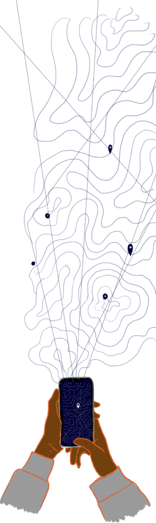
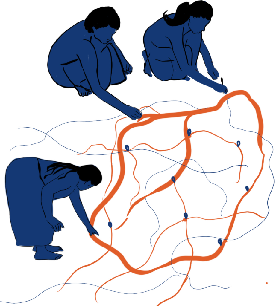
Collecting mapping data
The longest phase of a mapping project is composed of extensive data collection. Depending on the nature of the project, this may involve fieldwork and traveling across the territory to gather geospatial data using a tool like Mapeo Mobile or a handheld GPS. It could also be using a direct-to-digital approach by using a software like Mapeo Desktop or QGIS and creating geospatial data by drawing on top of satellite imagery or existing maps. Or it could be digitizing additional sketch maps created by the community.
Validation and collecting additional data
Once a sufficient amount of data has been collected, it will be good to compile preliminary draft maps, or review the data directly on a computer (here, a projector can be useful for hosting a workshop in the community). The purpose will be to ascertain if enough data has been collected in accordance with the objective of the mapping project, or if more work needs to be done. Questions that you may want to consider may include:
Should we include more information on the map?
Is any information incomplete?
Is the information displayed on the map accurate?
What are the most important parts represented on the map?
What areas need to be improved or addressed?
If genders were separated, what are the main differences represented on the maps and why do you think this is?
Collect additional data, if needed
As determined by the previous phase, collect additional data until consensus has been reached that enough data has been compiled for the creation of the final maps.
Determining and illustrating the legend
At the end of a mapping process, the legend or categories of mapping data may differ significantly from what was originally proposed at the beginning of the project. It will be useful to consider what the legend should look like for the final maps -- some categories of data may be worthwhile to combine, whereas others could be narrowed down further, depending on the purpose of the map. As part of this, the community should also think about how to represent the legend items in symbolic form. This can be a very interactive and fun exercise where people of all ages draw the symbols for the legend.
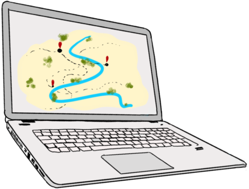
Design the map cartography
Once the legend has been created, it’s time to produce the final maps, which may require somebody with cartography skills to get involved. It will be good to think about what kind of base layers (hillshades, satellite imagery, villages, paths, land use, etc.) will be good to have on your maps, and ensuring that there isn’t too much information to the point that it becomes hard to read. This should go back to the second point in this process -- determining the purpose of making a map, and what you want the map to communicate. Once the map has been designed, it is always worth reviewing drafts at least several times with the community to ensure that it is legible to everyone, and without errors.
Design the visual layout of your maps
Because the maps will have information and knowledge about your community’s relationship to the land, it may be nice to style it in a way that is representative of your community. A lot of other earth defender communities have put a lot of work into having decorations and designs in the border and other areas that makes them feel like it's their own.
Consider protocols for sharing and keeping sensitive data secure
Now that the maps have been produced, you should consider and discuss protocols for sharing the maps, especially if they show any sensitive data. You should ask questions like: who has access to the maps within the community, with whom should the maps be shared, under what circumstances should they be shared, and who has permission to decide on that? You may want to write these things down so they are not forgotten years down the road, when current team members have moved on or are unable to be contacted.