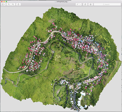
OpenDroneMap (ODM) is an open-source toolkit used to process aerial imagery captured by drones into maps and 3D models. Since ODM was created in 2014, it has become the go-to software for open-source drone imagery processing. There are a number of tools in the ODM toolkit including command-line code which can run on your local machine, as well as a user-friendly web-based application that can also run offline on your local machine, called WebODM. You can use ODM to process drone imagery to make digital elevation models, analyze plant and forest vegetation, export images in a JPG or TIFF format, make 3D maps, among many other things. ODM has an active forum where users can ask questions to the community and software maintainers. Nevertheless, processing drone imagery is very difficult and technically demanding no matter the software, and you may need some technical assistance to use this software. Earth defender communities have used drones to monitor changes taking place in their lands, especially in forest regions where it may be hard to find satellite imagery due to frequent cloud cover.
OpenDroneMap

