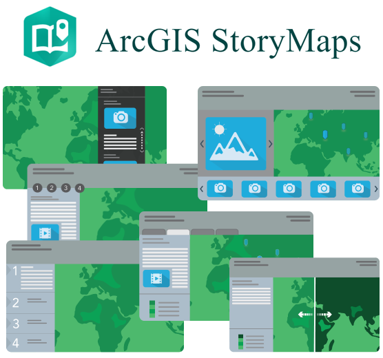
ArcGIS StoryMaps and Dashboard are two tools for sharing and visualizing information online, maintained by the company Environmental Systems Research Institute (Esri). ArcGIS StoryMaps is a story authoring web-based application that enables you to share your maps in the context of narrative text and other multimedia content. Many earth defender communities have used StoryMaps to tell stories about their land, culture, or history using interactive maps and other media content. The template is easy to use and doesn’t require any technical knowledge, and offers a lot of options for laying out maps, and customizing the design. ArcGIS ArcGIS Dashboards can be used to make sense of location-based data using intuitive and interactive data visualizations on a single screen. You can put together a Dashboard with maps of your land along with graphs and analysis of field data, and important geospatial information like deforestation data or zonal demarcations. Both tools utilize Esri’s ArcGIS Online platform where the maps and data are stored.
ArcGIS StoryMaps & Dashboard